

Dr. Andreas Kunz
Member of the academic staff, Department "Universalgeschichte"
Time at IEG: 1989 – 2013
Research projects:
A Virtual Journey on the Rhine around 1850
The website reconstructs a historical journey on the Rhine and compares it with a modern-day boat trip. Starting in Mainz, the journey ends in Cologne after stops in Bingen, Boppard, Königswinter and Bonn, among others.
AtlasEuropa
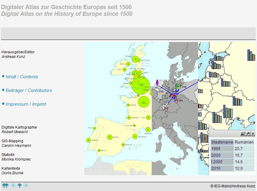 The website ‘Digitaler Atlas zur Geschichte Europas seit 1500’ (‘Digital Atlas on the History of Europe since 1500’) offers free access to 341 partly interactive GIS-based maps that provide an overview of the political, religious and dynastic changes in Europe. The atlas combines thematic cartography with GIS-supported maps to create an interactive history of European states since 1500.
AtlasInfra
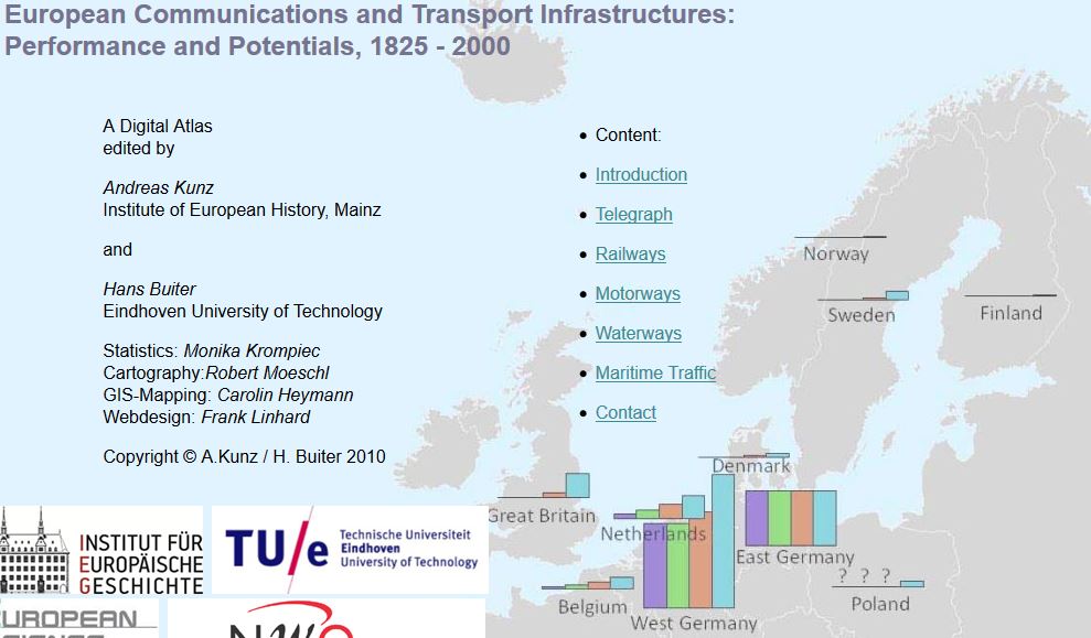 The service summarises the development of telecommunications and transport routes - based on statistical data series - for Europe in the 19th and 20th centuries in more than 40 maps.
HGIS Germany
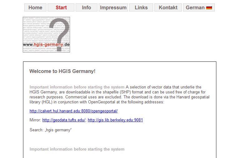 The historical-geographical information system "HGIS Germany" depicts the changing constellation of the German and European states from 1815 onward.
IEG MAPS
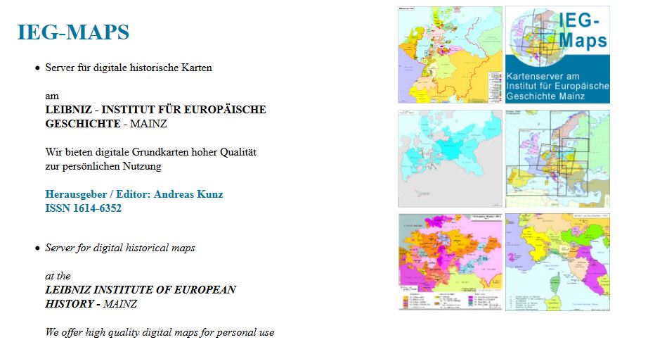 IEG-Maps provides digital base maps on German and European history in the fields of politics, economics, administration and transport.
Verkehrsinfrastrukturen in Mitteleuropa im 19. und 20. Jahrhundert
Der Schwerpunkt dieser Arbeiten lag in der Grundlagenforschung, die im Rahmen eines von der »European Science Foundation« geförderten internationalen Forschungsverbundes sowie anderer kleinerer Projekte Basisdaten erarbeitet und publiziert werden konnten. Unter anderem enstand dabei ein digitales Kartenwerk zur Entwicklung europäischer Verkehrs- und Kommunikationsnetze und deren wirtschaftlicher Performance im 19. und 20. Jahrhundert.